|
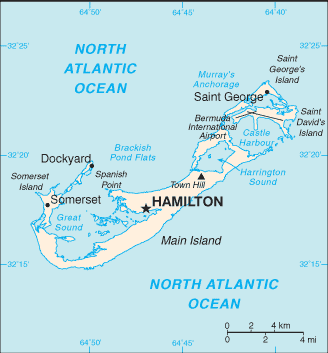
Located off the east coast of the United States, its nearest landmass is Cape Hatteras, North Carolina, about 1,030 kilometres (640 mi) to the west-northwest. It is about 1,350 km (840 mi) south of Halifax, Nova Scotia, Canada, and 1,770 km (1,100 mi) northeast of Miami, Florida. Its capital city is Hamilton. |

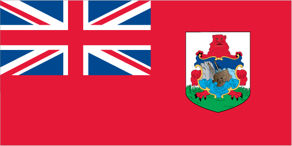
Name: Bermuda Capital: Hamilton Population: 67,837 (July 2009 est.) Area: 54 sq km Coastline: 103 km Religion: Anglican 23%, Roman Catholic 15%, African Methodist Episcopal 11%, other Protestant 18%, other 12%, unaffiliated 6%, unspecified 1%, none 14% (2000 census) Language: English (official), Portuguese Ethnic group: black 54.8%, white 34.1%, mixed 6.4%, other races 4.3%, unspecified 0.4% (2000 census) Government: Overseas territory of the UK, parliamentary; self-governing territory Currency: Bermudian dollar
|
English


 Bermuda (pronounced /bɜrˈmjuːdə/; officially, the Bermuda Islands or the Somers Isles) is a British overseas territory in the North Atlantic Ocean.


