
|
Part of the Lesser Antilles, it is located north/northeast of the islands of Saint Vincent and the Grenadines, northwest of Barbados and south of Martinique. Its size is 620 km² with an estimated population of 160,000. Its capital is Castries. The island nation has been the home of two Nobel laureates, Arthur Lewis and Derek Walcott. It is the nation with the second most such honorees per capita after Faroe Islands. |
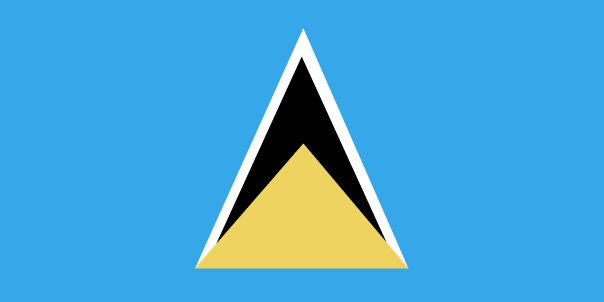
Name: Saint Lucia Capital: Castries Population: 160,267 (July 2009 est.) Area: 616 sq km Religions: Roman Catholic 67.5%, Seventh Day Adventist 8.5%, Pentecostal 5.7%, Rastafarian 2.1%, Anglican 2%, Evangelical 2%, other Christian 5.1%, other 1.1%, unspecified 1.5%, none 4.5% (2001 census) Language: English (official), French patois Ethnics Groups: black 82.5%, mixed 11.9%, East Indian 2.4%, other or unspecified 3.1% (2001 census) Government: Westminster-style parliamentary democracy Currency: East Caribbean dollar |
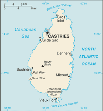 Saint Lucia (pronounced /ˌseɪnt ˈluːʃiə/ saynt LOO-shee-ə; French: Sainte-Lucie) is an island nation in the eastern Caribbean Sea on the boundary with the Atlantic Ocean.
Inglés